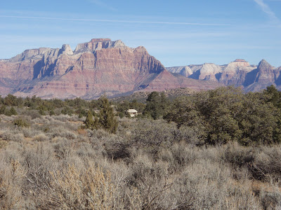
The meeting place for day 3 is Sheep Bridge, 8 AM. This is a dirt parking area along the Virgin river gorge just before Virgin. Heading towards Zion on Hwy 9 from Hurricane you'll see a small green street sign for "Sheep Bridge" just before the small town of Virgin - head right on that. Take the first major right to the parking area. See the attached GPS file for the exact location of the start point.
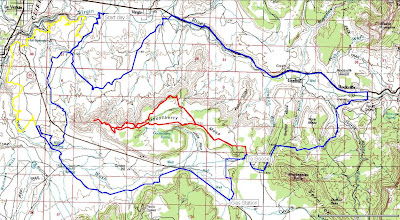
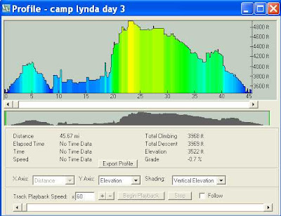
The route has plenty of options, including the short optional 16 mile Gooseberry segment I decided to include. The main course is a 45 mile loop (shown in blue below) that circumnavigates Gooseberry Mesa in a clockwise direction. We'll start on singletrack then hit a couple jeep roads in the shadows of Gooseberry before a short highway segment to Rockville. From Rockville it's up up up to the Gooseberry decision point.
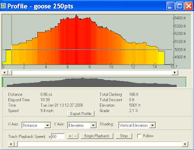
The optional Goose section (in red) is a progressively technical jeep road before hitting the trail to the point overlooking most of Washington county, then coming back via the Yellow, North rim, and Windmill trails. Expect roughly 2 hours for this section...and some really enjoyable technical riding along big views.
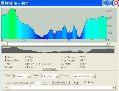
Back on the blue main route, it's a short bit before making it to a gas station/refuel spot in Apple Valley. A couple miles of pave lead to dirt roads under Little Creek mesa. The main route finishes with a rippin descent on the Jem trail back to the start.
Not enough? The yellow loop below is the Jem/Goulds/Hurricane rim loop. All singletrack and about 25 miles, that option is for pure chronics only.
Profiles for each section.
Blue loop
Red loop
Yellow loop
This day is designed to be a biggie. The optional routes offer plenty of terrain to make it all you can bite off in the limited January daylight hours. The intended route is blue, red, blue then yellow loops - the red and yellow loops being optional - for a total of 86 possible miles. Choose your poison.
Come with cameras...and mojo.
